When working with AUV-based multibeam surveys, one of the most common questions is how the Kongsberg HISAS 1030 compares to the EM2040 in terms of achievable bathymetric resolution. The answer depends heavily on AUV flying altitude.
EM2040 at Low Altitude (8m) Flying at 8m altitude, the EM2040 achieves raw grid cell resolution of 0.1–0.12m. In practice, processed deliverables are produced at 0.25m — still an excellent result for high-detail seabed mapping.
EM2040 at High Altitude (40m) At 40m altitude the picture changes significantly. The best achievable raw resolution drops to approximately 0.6m grid cell, with final deliverables produced at 1m resolution for the client.
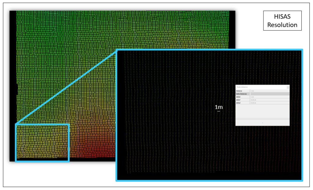
HISAS 1030 at High Altitude The HISAS bathymetry (sssb) at high fly also achieves approximately 0.6m raw grid cell resolution, with 1m deliverables. Importantly, while along-track resolution can be controlled to a maximum of 0.5m via vessel speed, the across-track resolution of HISAS bathymetry is fundamentally limited to 1m.
Conclusion For sub-0.5m bathymetric deliverables, the EM2040 at low altitude remains the preferred option. At high altitude, both systems converge to similar output resolution.