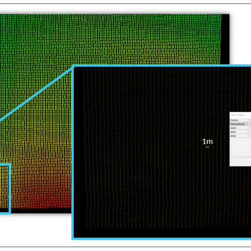
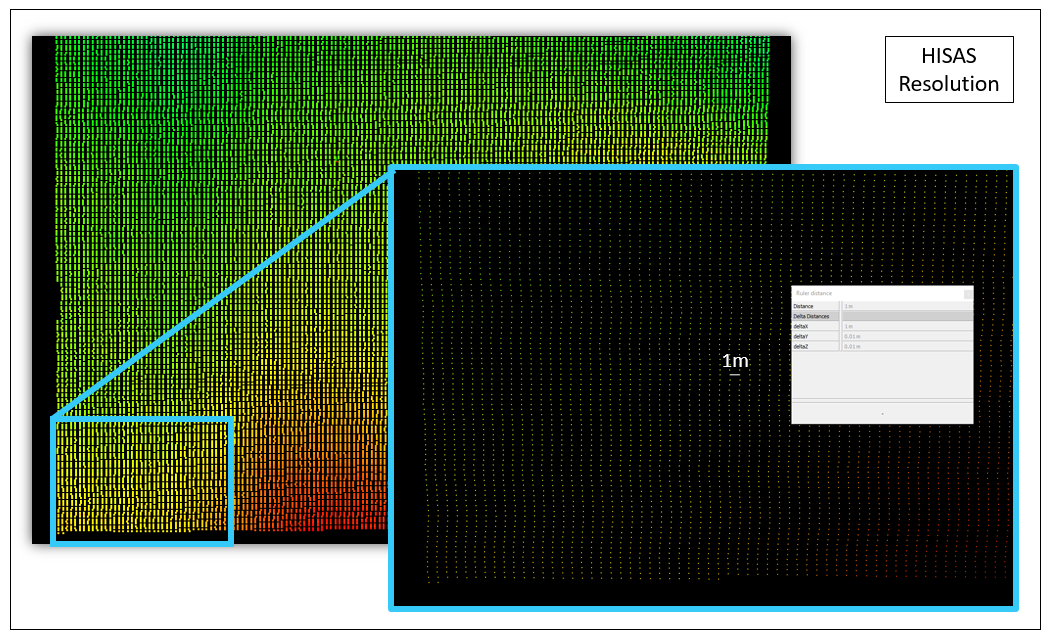
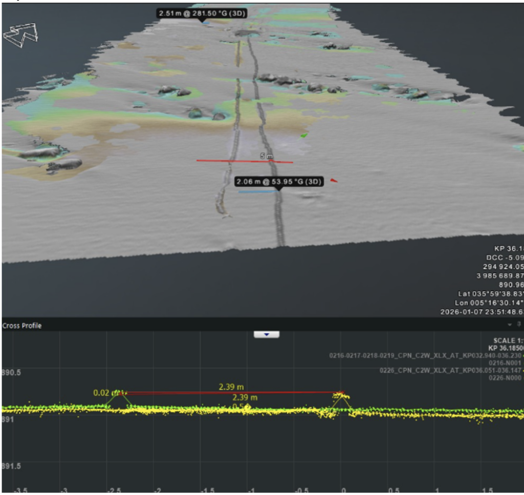
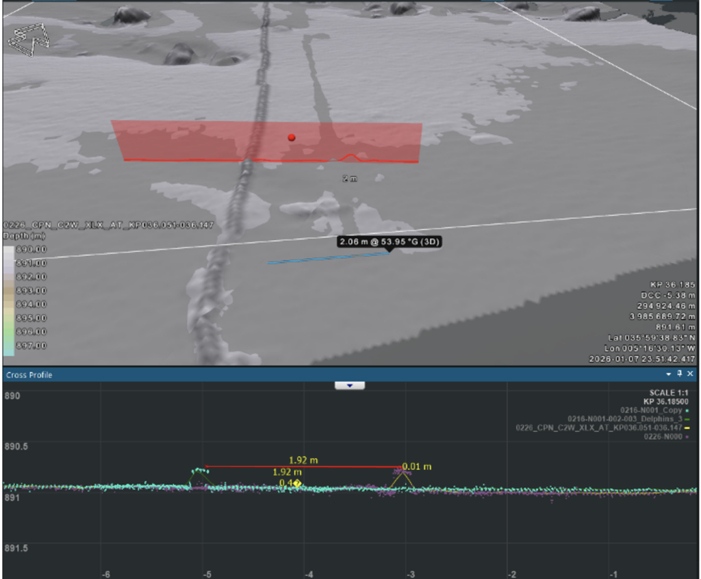
During As-Trenched operations on a major subsea cable project in early January 2026, a routine comparison between two survey datasets revealed something that couldn’t be ignored: a lateral discrepancy of up to 2 metres in the Top of Pipe position between surveys .
We did recently switch from TSS440 to the TSS350 Pipetracker. The TSS440 had been delivering poor signal quality — constant spiking above 15% detection strength, unreliable coil voltage, and 0.000 suspicious readings that required heavy manual filtering in NaviScan. After switching to the TSS350, which immediately provided clean, stable data with no aggressive filtering required. But the navigation bust was a separate problem entirely, and a cleaner TSS signal didn’t solve it.
The Problem
Two datasets acquired with the TSS350, same cable, same area — yet the top of pipe positions didn’t align. A 2-metre lateral bust in a burial verification survey is significant. It raises an immediate question: which dataset is correct, and can we trust the burial depth readings from either?
The Attempted Fix: Delphin Post-Processed Navigation
The standard approach in this situation is to apply post-processed navigation. The raw USBL/INS positioning recorded during the survey is replaced with a higher-accuracy solution computed onshore after the fact — in this case, using Delphin software.
The result was promising on paper. Comparing the original survey against its Delphin-reprocessed version showed a 0.3-metre improvement in navigation straightness. The DTM looked cleaner. It seemed like the fix was working.
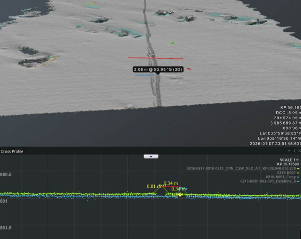
But when we compared the Delphin-processed against the independent new dataset , the improvement was negligible. The two surveys still didn’t align.
The Conclusion
Post-processed navigation improved the internal consistency of one dataset, but it could not resolve the relative offset between two independently acquired surveys. The root cause of the bust was not navigation noise — it was a systematic positioning error that no amount of post-processing could retrospectively correct.
The only valid solution was a remedial resurvey. Survey was conducted afterwards, covering the sector in question , providing an independent validation of the burial depth in that area.
The Lesson
Post-processed navigation is a powerful QC tool, but it has limits. When two independent TSS350 datasets disagree at the 2-metre level and post-processing fails to reconcile them, the data itself cannot be trusted for burial depth validation. In subsea cable work, where burial depth compliance is a contractual and safety requirement, the only correct answer is to resurvey.